Orbisonia borough
The view from Orbisonia depot
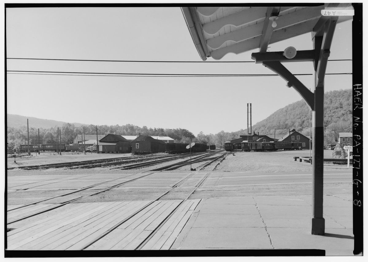
Looking south across Meadow Street, which is Route 994, from the Orbisonia depot toward the Rockhill shop complex. The East Broad Top was the narrow gauge line that ran from Mount Union south through Orbisonia to the Broad Top coal field, and this is the engineering record's own view of where it stopped in town.
Checked 2026-09-01 · Library of Congress HABS/HAER survey
← All stories from Orbisonia borough
Have something to add to this story, or a photograph of it? Send it here →
Photographs from Orbisonia borough
More from Orbisonia borough
Did you know? Cromwell Township is named for a man who was already dead when they named it, and who had put up the…
Rockhill borough, East Broad Top RailroadThe East Broad Top Railroad's shops stand on Meadow Street in Rockhill Furnace, a middle point on a three-foot-gauge…
County wide, Flood of '36 Devastated HCDid you know? The flood of 1936 crested over Huntingdon County in the dark, in the small hours of March 18. And on two…
Also about railroad
The survey's cover sheet for the Sideling Hill Tunnel, HAER PA-127-F, places it in the Kimmel vicinity and holds…
elsewhere in the county, Union Depot at Fourth and AlleghenyThe Union Depot at Fourth and Allegheny Streets was built in 1872 to serve the Pennsylvania Railroad and the Huntingdon…