Clay township
East Broad Top Railroad, Sideling Hill Tunnel
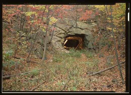
The survey's cover sheet for the Sideling Hill Tunnel, HAER PA-127-F, places it in the Kimmel vicinity and holds photographs and color copies with no written history of its own. What the record says about the tunnel is spread across the parent report on the railroad, PA-127, J. Simpson Africa's 1883 county history, and the 1991 county inventory of engineering and industrial sites.
The parent report says the East Broad Top chose a three-foot gauge in June 1872, built its first leg from Mount Union to Orbisonia between September 16, 1872, and August 30, 1873, and reached the new mining town of Robertsdale on November 4, 1874. It argues that the road was built with grades and curves consistent with a broad-gauge line rather than laid on the surface of the ground, and that after several surveys the company made a serious investment in two tunnels to crest grades. The Library of Congress record dates the Sideling Hill bore to about 1874. Among the improvements the report attributes to the Seibert era, the two tunnels were relined with new timbers.
Africa's 1883 history, in its chapter on Clay Township, has the railroad passing through Three Springs and Saltillo boroughs and Clear Ridge Gap in the extreme north of the township and out through a tunnel under Sideling Hill Mountain near P. Hoffman's. The same chapter says Sideling Hill runs along the entire northwest line of the township.
The 1991 inventory gives the tunnel's construction date as 1874 and its length as 830 feet, describes it as a solid-rock bore with timber bents partly supporting unlined walls and ceiling, dates both portals to the early twentieth century, and records that after a locomotive derailment it attributes to ice build-up in January 1912, doors were put on the end of each portal to keep the wind from blowing through.
Sources
- Library of Congress, Historic American Buildings Survey HAER PA-127-F: East Broad Top Railroad & Coal Company, Sideling Hill Tunnel (1989)
- HAER PA-127-F data pages (cover sheet) (1989)
- HAER PA-127 East Broad Top Railroad & Coal Company, written historical and descriptive data (parent report) (1994)
- History of Huntingdon and Blair Counties, Pennsylvania (J. Simpson Africa, 1883), Clay Township chapter, p. 246
- Huntingdon County, Pennsylvania: An Inventory of Historic Engineering and Industrial Sites (HABS/HAER, 1991), Sideling Hill Tunnel entry, p. 105
Checked 2026-09-05 · Library of Congress survey record, read in full
← All stories from Clay township
Have something to add to this story, or a photograph of it? Send it here →
Photographs from Clay township
More from Clay township
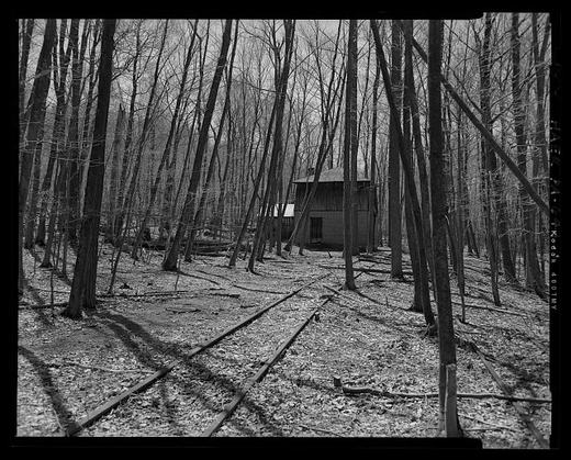
Half a mile east of Coles Valley Road, at milepost 24.3 on the East Broad Top main line beyond Saltillo toward…
Clay township, Clay: the first settlersFrom the county histories, on Clay township. The passage below is printed exactly as it appears in 1883, including the…
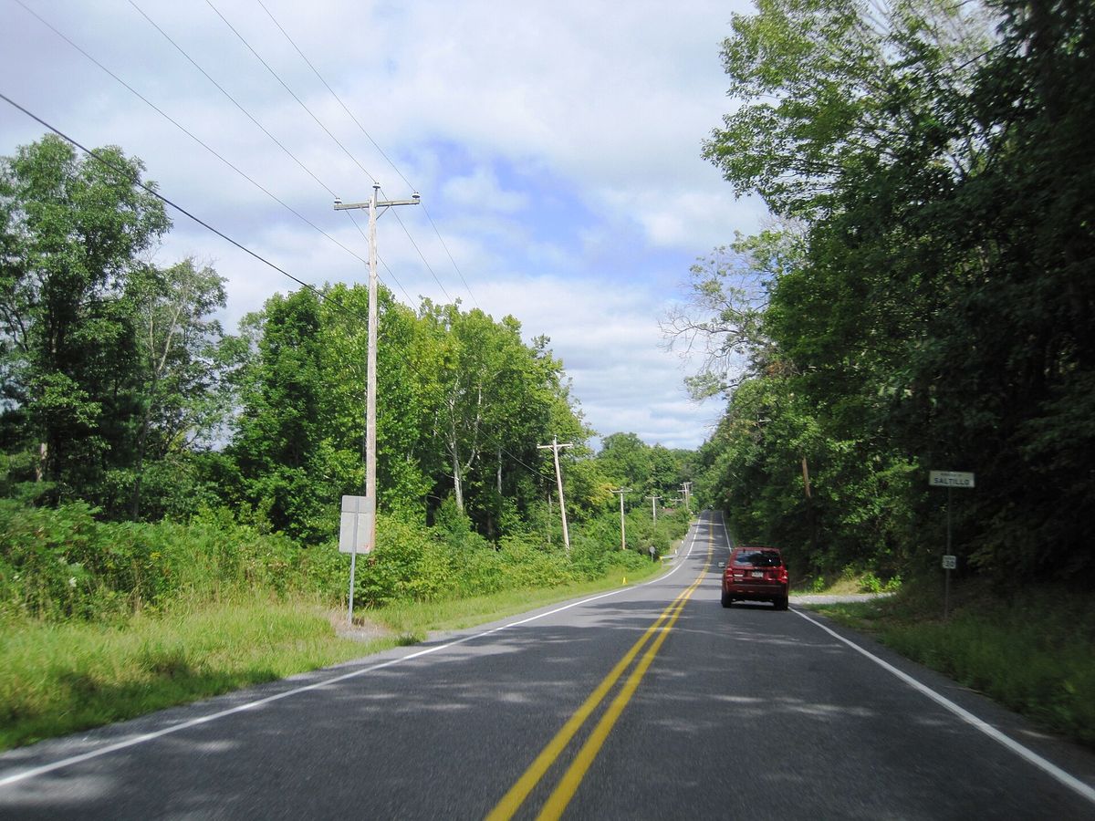
Clay township, The Road Into SaltilloHudson Street running into Saltillo out of Clay township, photographed in August 2024 looking north-west. Saltillo is…
Also about railroad
The Union Depot at Fourth and Allegheny Streets was built in 1872 to serve the Pennsylvania Railroad and the Huntingdon…
elsewhere in the county, HUNT Tower, the Switch Tower the Flood BuiltHUNT Tower stands just north of the tracks at the west end of the old station platforms in Huntingdon, where Fourth and…