Mount Union borough
Agnes And The Flat, 1972
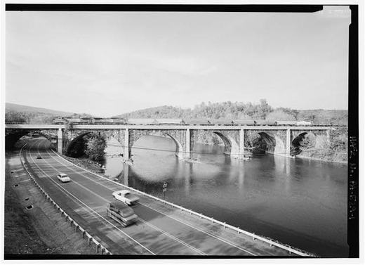
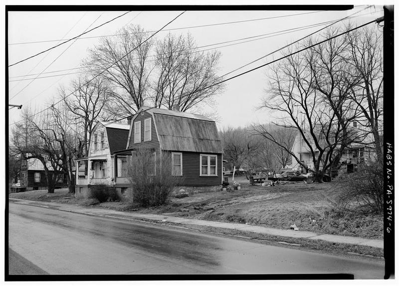
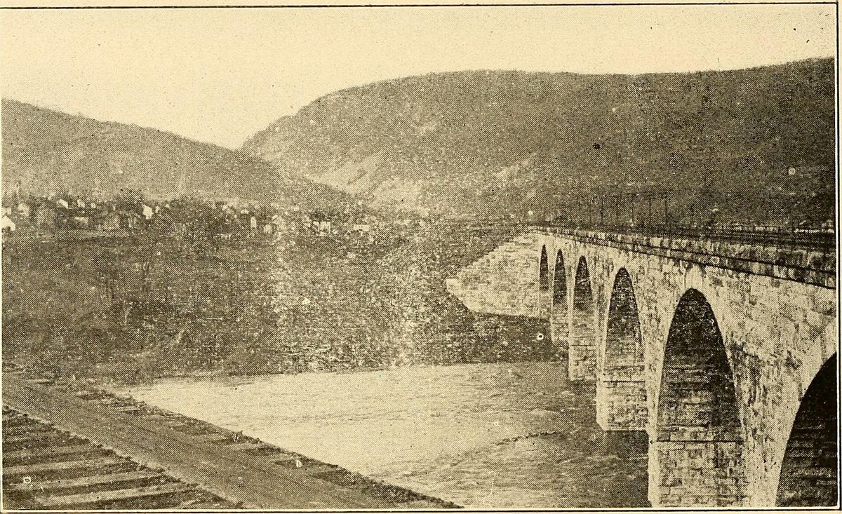
In Mount Union, the low ground north of the railroad viaduct went by a plain name: the Flat. The town's National Register nomination explains it. The ground was farmland in the floodplain of the Juniata River until 1906, when the Pennsylvania Railroad completed its viaduct and the land was opened for development. The nomination notes that de facto racial and ethnic segregation existed in Mount Union, as in most of America. After 1906, it says, most of the town's African American workers and their families lived there.
In the early 1950s Harbison-Walker tore down its whole Ganister Hill neighborhood. Residents were allowed to buy the houses for salvage, and the federal survey of the town records that materials from many of them went into new houses, particularly in "the flats" along the Juniata.
Then came June 1972 and Hurricane Agnes. At the U.S. Geological Survey gauge at Mapleton Depot, near the State Highway 655 bridge, the Juniata peaked at 10 a.m. on June 23 at a gage height of 33.07 feet, carrying 125,000 cubic feet of water per second. Even that stayed below the 38.2 feet the same gauge records for March 18, 1936, taken from a floodmark.
It was high enough. The nomination says the Flat was badly flooded in 1936 and again in 1972, and that several industries and countless homes were ruined.
When the nomination was prepared in January 1994, most buildings in the Flat were less than 50 years old. The north end of the borough, between the river and the main line tracks, was left out of the Mount Union Historic District because the floods of 1936 and 1972 had damaged and removed many of its historic structures.
Sources
- National Register of Historic Places nomination: Mount Union Historic District, reference 94000516
- Historic American Buildings Survey / Historic American Engineering Record, PA2822: Town of Mount Union
- U.S. Geological Survey Professional Paper 924, Hurricane Agnes Rainfall and Floods, June-July 1972 (Bailey, Patterson and Paulhus, 1975), PDF pages 168-169: station 01563500 Juniata River at Mapleton Depot and station 01564500 Aughwick Creek near Three Springs (pdftotext, no layout)
- National Register of Historic Places nomination: Mount Union Historic District, reference 94000516
Checked 2026-10-31 · County histories and primary sources, read in full
← All stories from Mount Union borough
Have something to add to this story, or a photograph of it? Send it here →
Photographs from Mount Union borough
More from Mount Union borough
By the end of March 1905, the sickness Mount Union's local physicians had been calling chicken pox had a new name. Dr.…
Mount Union borough, When The High School Was Captain JackIn the 1950s, Mount Union's high school went by its jointure's name: Captain Jack. A Cambria County weekly in 1954…
Mount Union borough, A Ferry near Mount UnionDid you know? The crossing at Drake's Ferry, just above Mount Union, went from a ferry to a series of bridges. Samuel…
Also about County history
In December 1956, Penn State president Eric A. Walker announced a plan for a man-made lake on the university's land in…
elsewhere in the county, Damming The Raystown BranchLong before the Army engineers built their high-level dam on the Raystown Branch, a company led by Huntingdon men put…